Read Grdoselo through its layers.
Medieval origins, a destroyed castle, a new village around the parish church and one of Istria’s significant Glagolitic traces.
 Petar Milošević · CC BY 4.0
A village with an older centre to the north.
Grdoselo developed in the medieval period above the Butoniga valley. After destruction during the Uskok War, the old castle was not rebuilt and the settlement’s centre shifted toward the area around the later parish church.
The Grdoselo fragment.
At the end of the 19th century, a fragment with Glagolitic inscription was found in the ruins of the nearby church of St Anne. The fragment is dated to the 12th century and is an important witness to Croatian literacy in medieval Istria.

Above the Butoniga stream.
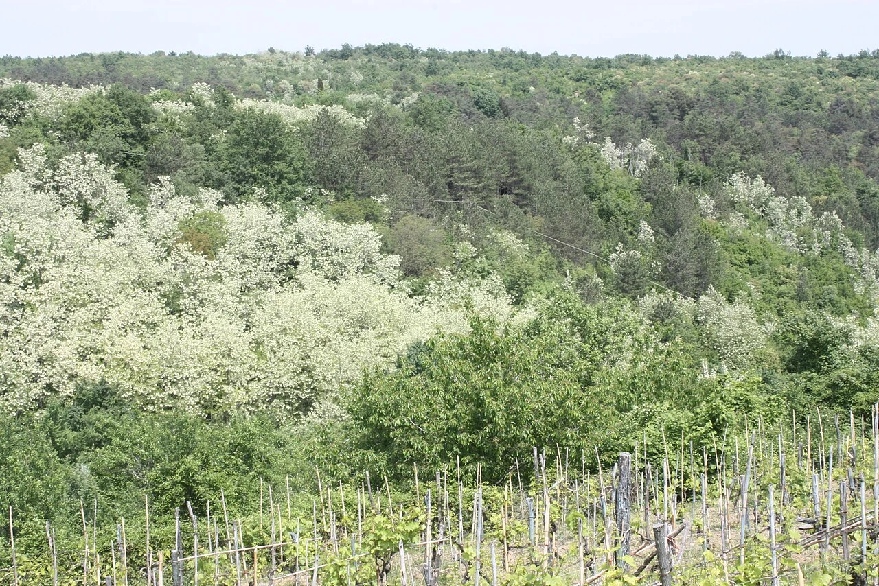
The village sits above slopes cut by the Butoniga water system. That relationship with water, forest and ravine gives Grdoselo a very different character from the better-known open hilltop towns of western Istria.
Name of Mary
The present parish church dates from 1774 and became the focal point of the newer settlement.
Castle traces
Ruins associated with the older fortified settlement lie roughly two kilometres north and are approached on the marked walking route.
Grdoselo Chronicle
The preserved parish chronicle covers the period from 1680 to 1816 and is an important source for local history.
Grdoselo / Gherdosella
Historic forms include Gherdosella and Castelverde di Pisino; modern interpretations of the place-name should be treated with care.
Historical copy on this site is based on the Central Istria Tourist Board and Istrapedia. For research-level use, follow the original sources and specialist literature listed on the credits page.